Application of Remote Sensing Technnologies to Estimate Evapotranspiration
The Lower Colorado region was selected for validation of satellite technologies because of the excellent regional water budget balances that are achieved using crop classification and crop coefficient methods. There continues to be an interest in the investigation of the riparian areas in the Lower Colorado region as the ET use in such areas remains poorly understood.
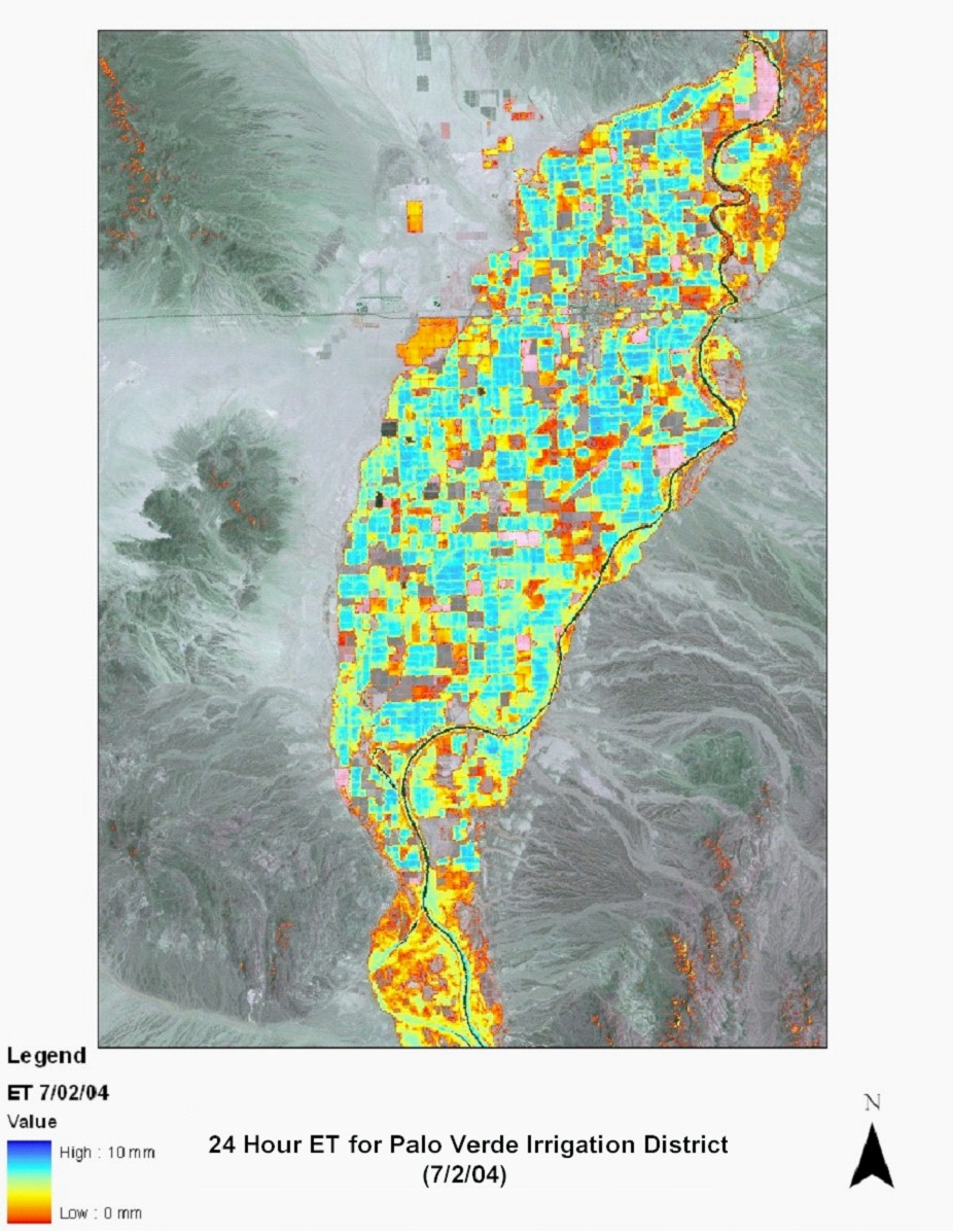
The IDS Group at Colorado State University (CSU) as part of the Alliance University team is applying the RESET model in the Palo Verde Irrigation District.
The present workplan deals with the Phase I of the project, which aims to identify the most promising technologies, taking into consideration the utility and ease of implementation into USBR's current programs, mindful of the limited resources available to USBR. Phase II will be the implementation of these technologies to several regions in the USBR.
As part of this project, remote sensing data at different scales are being acquired. High-resolution airborne thermal data of the Palo Verde Irrigation District area and associated riparian section with approximately 6 meter/pixel resolution and images in the green, red and near infrared bands with a resolution of 1.5 meters/pixel have been acquired over a 10-day intensive investigation period that coincided with the deployment of the maximum number of flux towers available to the project.
Landsat 5 data is being purchased on a monthly basis for use in land use classification and for use in applying satellite data in energy balance models to estimate ET.
Surface Energy Balance Models from Remotely Sensed data
As part of this project there is collaboration with a number of groups who have developed and continue to develop satellite technologies for the estimation of ET. The goal is to obtain yearly estimates of ET with monthly time-step estimates.
Luis Garcia (CoSU) has developed an energy balance algorithm (Remote Sensing of ET – RESET) and is using the Landsat data to carry out his estimates of ET in the PVID. A number of other researchers are working on evaluating other remote sensing techniques as well.
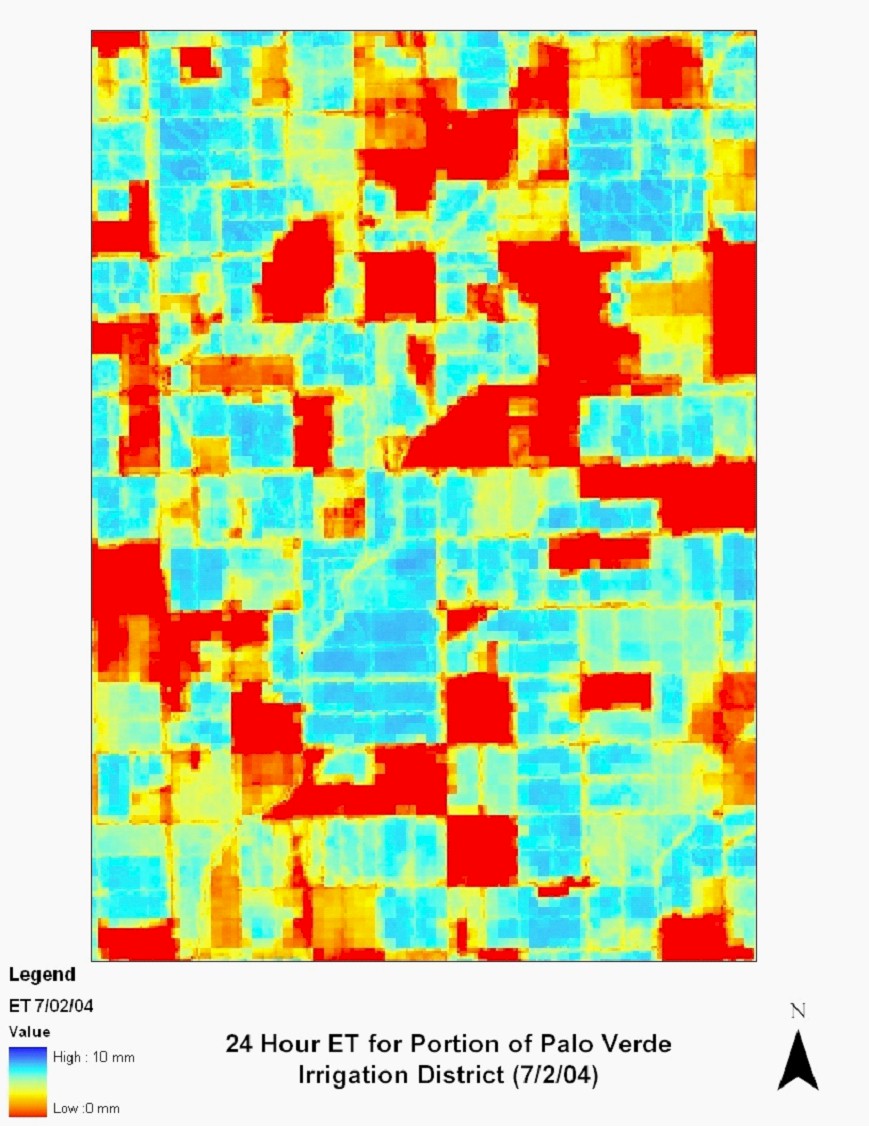
At the present time IDS has started to process some of the Landsat images for 2003 and 2004. Below is an example of the preliminary results for one of the images that we have processed.

Comparison of energy balance methods; two tier approach
The goal of this research is to determine which remote sensing method(s) are the most accurate and user friendly for Reclamation. To determine the accuracy of a particular method the USBR will ask for the results of a model calculation and analyze the results using a panel of experts as well as the members of the project team.

Downloads
| Name | Size |
|---|


